
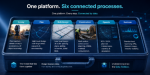
Platform

The network inventory platform, built on the world’s leading geospatial engine.
MarlinDT turns Esri ArcGIS into a true digital twin for telecom and utility networks. We build the high-quality network inventory — the data model, the multi-user CRUD at scale, the telecom-native tools — and rely on ArcGIS for world-class geospatial. The result is one connected platform, on web, mobile and desktop, that brings your whole organisation to a single source of truth.
Web, mobile and desktop — for everyone who touches the network
One platform, three surfaces, every role:

Field technicians
Mobile and offline survey, acceptance and as-built capture — the crew works from the truth, even with no signal.

Designers
High-output, rule-based design at scale on the desktop, with versioning and locking — without ever touching production.

The business
Web dashboards and real-time KPIs for planning, leadership and investors.

Everyone, integrated
A strong API ties MarlinDT to the rest of your stack — survey tools, dashboards, PM software and more.

A connected platform, not an island
Because MarlinDT is built on ArcGIS and integrates with it natively, you inherit the entire ArcGIS ecosystem. We don't rebuild what already exists — we connect it, and keep one source of truth at the centre.


Through best-in-class ArcGIS mobile tooling (VertiGIS Studio Mobile), tailored to your workflow.

Bring in automated high- and low-level designs and turn them into a maintainable inventory.
Any ArcGIS dashboard or analytics tool can read MarlinDT data.

Transactional, bulk and streaming APIs connect everything else.

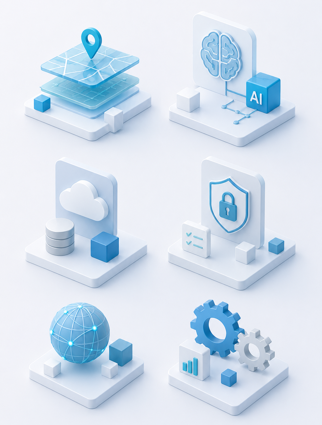
Go deeper into MarlinDT
Explore the thinking, technology and engineering principles behind the platform—from digital twins and AI to architecture, security and network intelligence.
From a digital map to a true digital twin — and why the foundation comes first.
Why model your networkWhere AI already works inside MarlinDT — and where it shouldn’t be let loose yet.
AI, honestly.
The deliberate platform bet — and why it matters for the next decade.
Why Esri?Open by design, ISO 27001, no proprietary lock-in.
Architecture & securityThe whole estate — modern and legacy.
Network & Technology coverageDesign Sessions, versioning, locking, tracing — the engine room.
How it works?